Mt. Baker Weather & Snow Report
Live Conditions from Heather Meadows & Pan Dome (Updated: 8:00 am PDT, Oct 15 | Source: Open-Meteo API (Fallback))
(4,200')
As of 8:00 am PDT, Oct 15, conditions at Mt. Baker (Heather Meadows, 4,200 ft) are 53°F and mainly clear, with winds of 3 mph. Source: Open-Meteo API (Fallback).
Official Snow Report
Data sourced directly from Mt Baker Ski Area reports.
5-Day Forecast
Regional forecast (Glacier, WA)
Today
58°
Cloudy
Wed
60°
Rain
Thu
70°
Cloudy
Fri
74°
Cloudy
Sat
57°
Snow
 Open Now
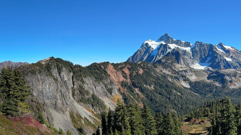
Visit Artist Point
Mt. Baker's breathtaking alpine viewpoint.
Drive to the 5,100 ft viewpoint for unforgettable views of Mt. Shuksan and Mt. Baker, alpine wildflowers, and miles of high-country trails.
Book a Cabin Nearby →Presented By

Planning a Trip?
After checking the snow report, book the perfect cabin for your mountain adventure. Hot tubs, fireplaces, and proximity to the slopes.
- Closest lodging to Mt Baker Ski Area
- Pet friendly options available
- Local support team
Mt. Baker Weather FAQ
What's the weather like at Mt. Baker right now?
As of 8:00 am PDT, Oct 15, it's 53°F and mainly clear at Heather Meadows (4,200 ft), with winds of 3 mph. Conditions update throughout the day.
How much snow is on Mt. Baker?
There's no measurable snow base right now — Mt. Baker is in its summer season. New snow typically returns to the upper mountain in late fall.
Where does this data come from?
The snow report is drawn from the official Mt. Baker Ski Area report, and the 5-day forecast comes from the Open-Meteo API for Mt. Baker (48.89°N, 121.95°W). The page refreshes automatically throughout the day.
When is the best time to visit Mt. Baker?
Mt. Baker Ski Area typically runs from November through April. Summer (July–September) is prime for hiking, when the road to Artist Point is usually clear of snow.
About This Weather Data
This weather data is scraped from the official Mt. Baker Ski Area report as a service to visitors. Conditions in the mountains can change rapidly. Always check official NOAA forecasts and WSDOT road reports before traveling.